Les figurés cartographiques
Les Figures Cartographiques
In this section, the speaker introduces the concept of cartographic figures and explains the importance of using a specific cartographic language to communicate information effectively on maps.
Types of Cartographic Figures
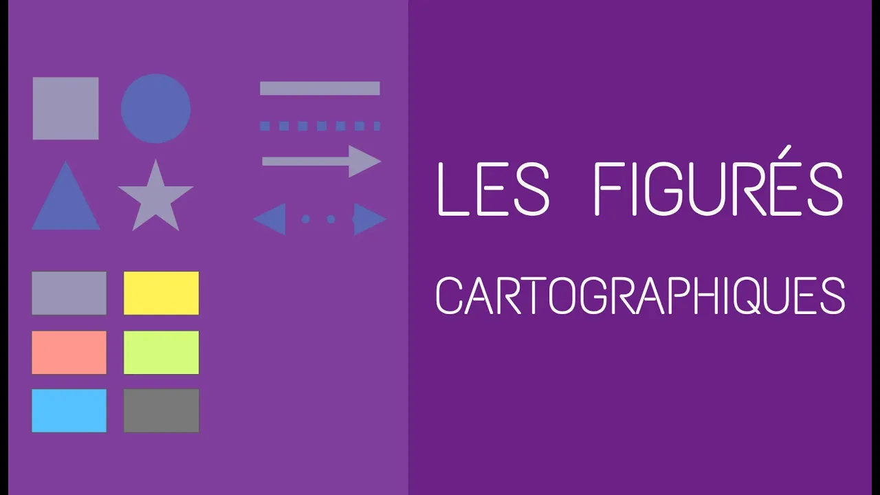
- Cartographic figures are categorized into three main types:
- Point Figures: Represented by geometric shapes like squares or circles, used for precise location indication such as cities or ports.
- Surface Figures: Depict areas on a map and are usually represented by colored areas, hatching, or dots. Colors convey meanings like blue for water and green for vegetation.
- Linear Figures: Consist of lines, arrows, or strokes indicating communication routes, boundaries, or trade exchanges. They are typically depicted last in sketches.
Diversity in Symbol Creation
- The richness of cartographic symbols lies in the ability to create a wide variety from just these three basic figure types. Variation in color, density, size, and style allows for nuanced representation based on importance and context.
Summary of Cartographic Symbols
This part summarizes the three types of cartographic symbols – point, surface, and linear – using the acronym PSL (Ponctuelles Surface Linéaire), offering a mnemonic device for easy recall.
Recap of Cartographic Symbols
- Three main types of symbols:
- Ponctuelles (Point),
- Surface (Area),
- Linéaire (Linear).
- Mnemonic tip:
- Remember PSL as an acronym representing Point-Surface-Linear.